
PLA Daily did not reveal the soldiers’ ranks.
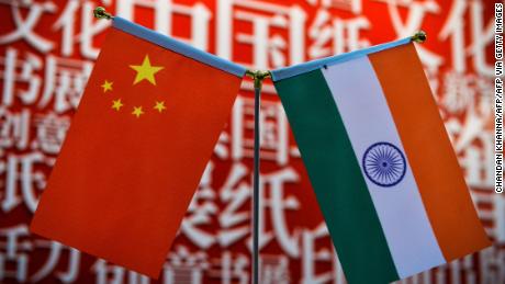
China and India have blamed each other for the skirmish.
Disputed border
India and China share a 2,100 mile-long (3,379-kilometer) border in the Himalayas, which in places is poorly defined and hotly disputed. Both sides claim territory on either side of it.
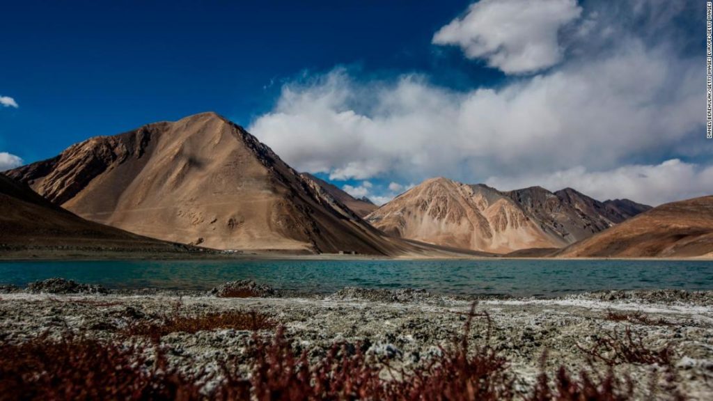
The June 2020 clash erupted near Pangong Tso, a strategically important lake located some 14,000 feet (4,267 meters) above sea level, which spans an area stretching from the Indian territory of Ladakh to Chinese-controlled Tibet, in the greater Kashmir region where India, China and Pakistan all claim territory.
In 1962, India and China went to war over this remote, inhospitable stretch of land, eventually establishing the Line of Actual Control (LAC), the de facto border straddled by Pangong Tso. However, the two countries do not agree on the LAC’s precise location and both regularly accuse the other of overstepping it, or seeking to expand their territory. Since then, they have had a history of mostly non-lethal scuffles over the position of the border.
In September, the two countries agreed to stop sending more troops to the border, following an escalation in tensions between New Delhi and Beijing. The situation was temporarily resolved, with the two sides engaging in several rounds of talks.
But another “minor” face-off erupted between the two sides in January, according to the Indian Army, though it said that “was resolved by local commanders as per established protocols.”
On February 10, China’s Defense Ministry said the two countries had started to disengage along the south and north shores of Pangong Tso after reaching an agreement with India.
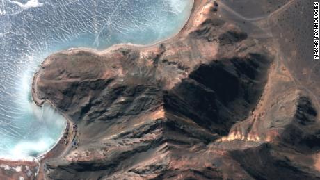
Satellite photos taken on January 30 by US-based Maxar Technologies showed a number of Chinese deployments along Pangong Tso. In new images taken on Tuesday, dozens of vehicles and building structures had been removed, leaving empty land.
CNN’s Brad Lendon, James Griffiths and Jessie Yeung contributed reporting.
You may also like
-
Afghanistan: Civilian casualties hit record high amid US withdrawal, UN says
-
How Taiwan is trying to defend against a cyber ‘World War III’
-
Pandemic travel news this week: Quarantine escapes and airplane disguises
-
Why would anyone trust Brexit Britain again?
-
Black fungus: A second crisis is killing survivors of India’s worst Covid wave